
Sectors and applications
Complex geospatial data becomes a practical workflow.
MapTerra combines data ingestion, viewing, analytics and project collaboration for administration, construction, engineering and network infrastructure.
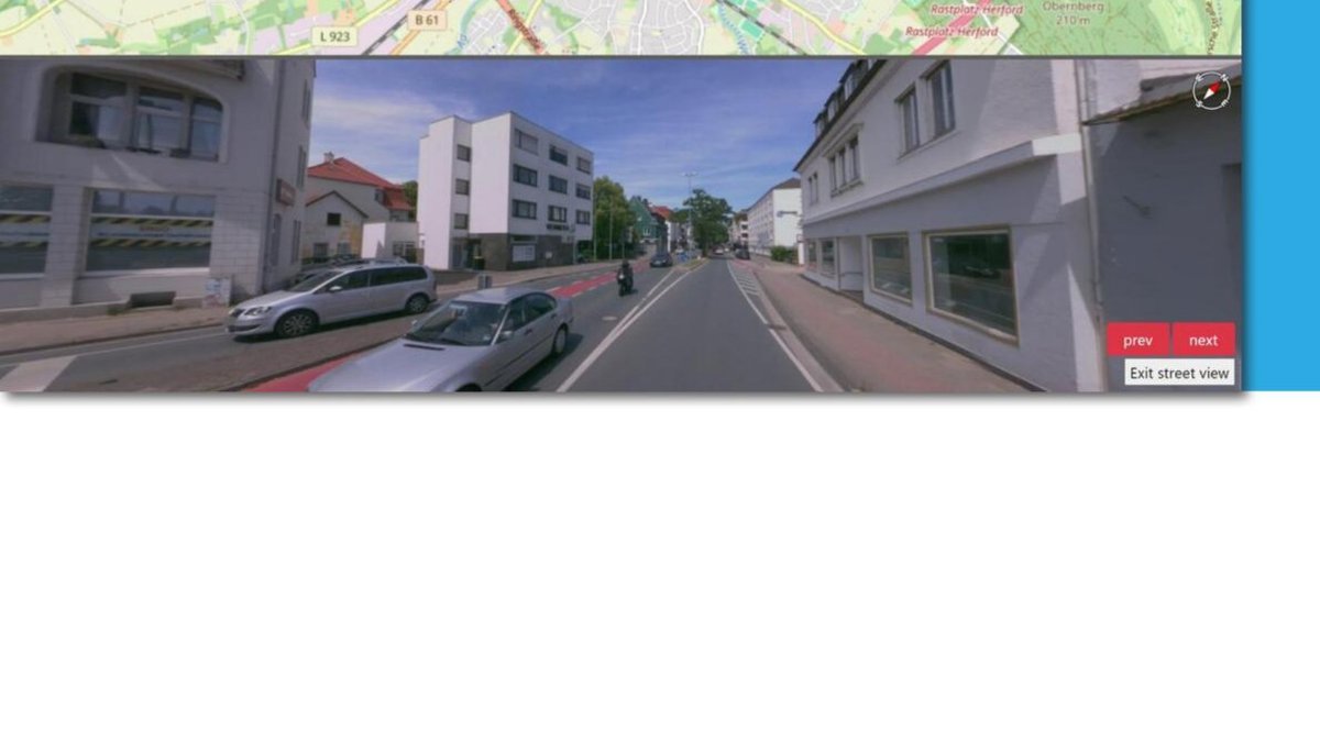
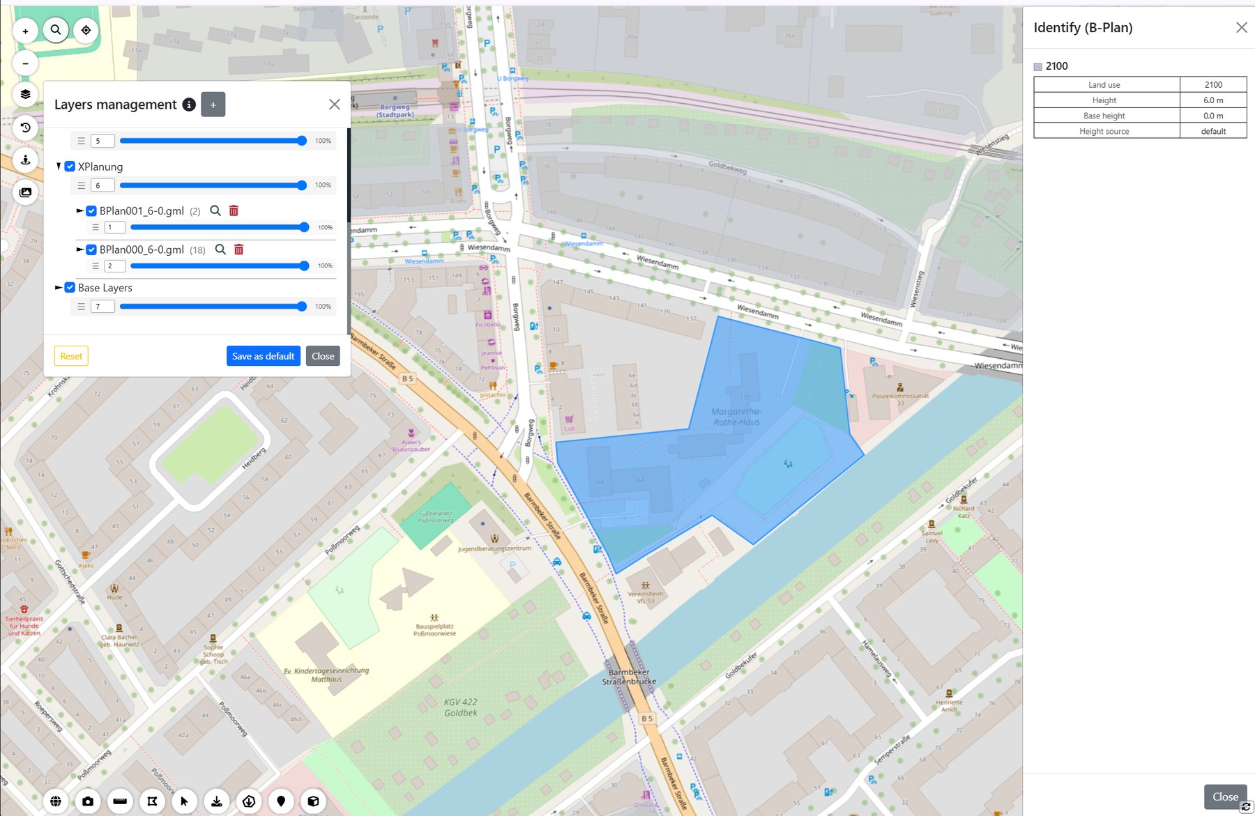
Public administration
Provide planning and as-built data across departments.
- XPlanung-compliant binding land-use plans in 2D and 3D
- CityGML/CityJSON and Cesium 3D Tiles for municipal city models
- WMS/WFS, orthophotos, specialist registers and additional GIS layers
- Historical datasets for change and updates
- Browser access with projects, roles, MFA and audit logs
Construction and planning
Design, as-built reality and construction progress in one 3D environment.
- Overlay BIM models with as-built point clouds
- Measure clearances between design and captured reality
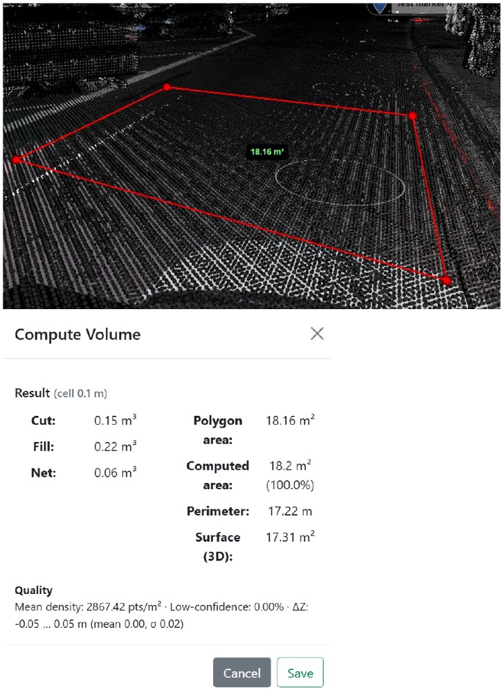
- Calculate cut, fill and net volumes
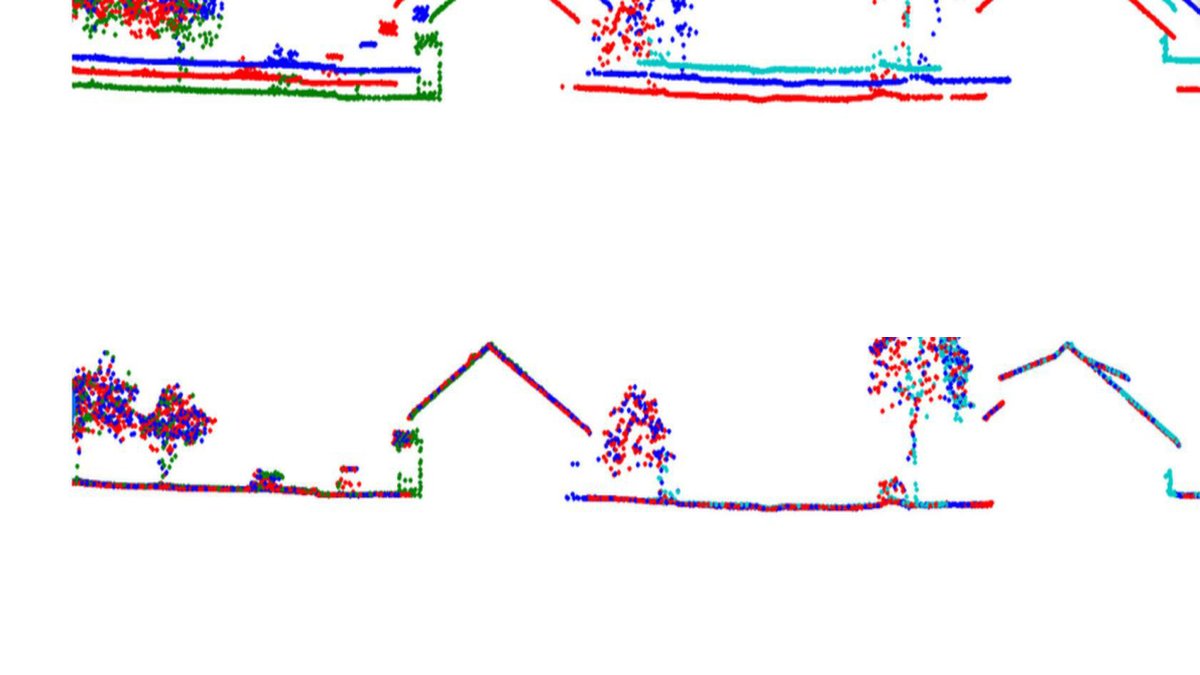
- Compare captures from different dates in sync
- Attach issues, notes and documents to their spatial location
Engineering and surveying
Capture, process, analyse and publish independently of the sensor vendor.
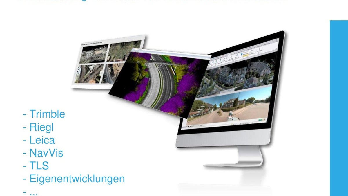
- Mobile mapping, handheld, TLS, drone and existing geodata
- Georeferencing against control points and reference data
- Registration, classification and AI-assisted object extraction
- 2D/3D measurement, profiles and browser-based digitisation
- Regional exports of point clouds, vectors, imagery, markers and BIM data
Fibre, utilities and network operators
Connect network information, the road environment and visual documentation.
- Overlay utility and as-built data with imagery and point clouds
- Search and inspect objects and attributes along routes
- Organise recurring captures as a project history
- Spatial notes with photos, PDFs and project-specific fields
- Reduce site visits with high-resolution georeferenced imagery
Your data. One shared workspace.
We will show how your existing datasets and workflows can be brought together in the MapTerra AI-Viewer.