
Services centered on AI, viewer delivery and scalable operations
MapTerra covers the complete processing chain—from mobile mapping and georeferencing to AI-supported interpretation and browser-based delivery of sensitive infrastructure data. The focus is on usable outputs in the viewer, not isolated one-off datasets.
Framework partner of Deutsche Bahn
MapTerra is positioned for topographic extractions and viewer solutions in the DB environment, backed by reliable processes for complex infrastructure programs.
Strong experience for motorway programs
We have delivered extensive evaluations for Autobahn and road infrastructure projects and understand both large networks and recurring update cycles.
AI-first instead of classic one-off extraction
Object recognition, condition assessment, change detection and viewer delivery now form the center of our service portfolio.
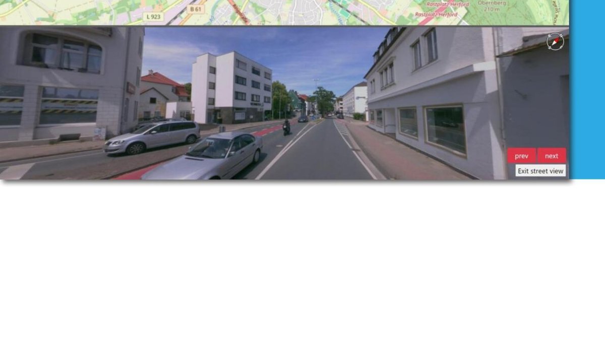
MapTerra Viewer with AI value
The viewer is the central workspace for infrastructure projects: synchronized maps, imagery, point clouds and GIS layers make AI outputs, topographic derivations and project status immediately understandable.
- 2D/3D measurements, profiles, areas and volumes
- Attribute search, layer management and vectorization
- Access for many parallel users without specialist software
- GIS export and clear visual QA of AI outputs
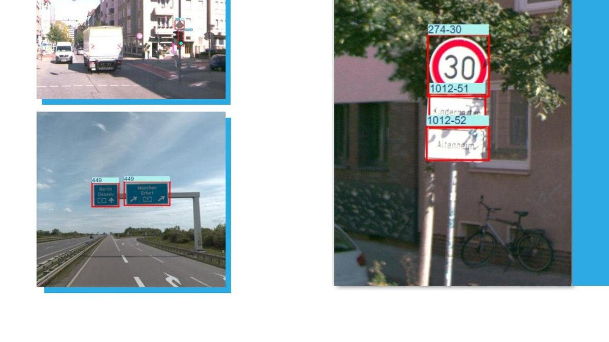
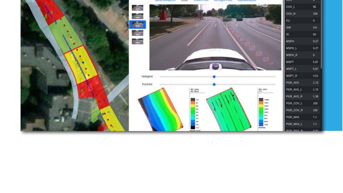
AI object recognition, condition classes & change detection
We automate the recognition of infrastructure classes and conditions in imagery and point clouds—for faster inventories, recurring updates and digital twins with real operational value.
- Traffic signs, markings, light poles, vegetation and surfaces
- AI-based road condition assessment including damage patterns
- Georeferenced object classes with attributes for GIS, planning and operations
- Change detection for recurring capture and monitoring cycles
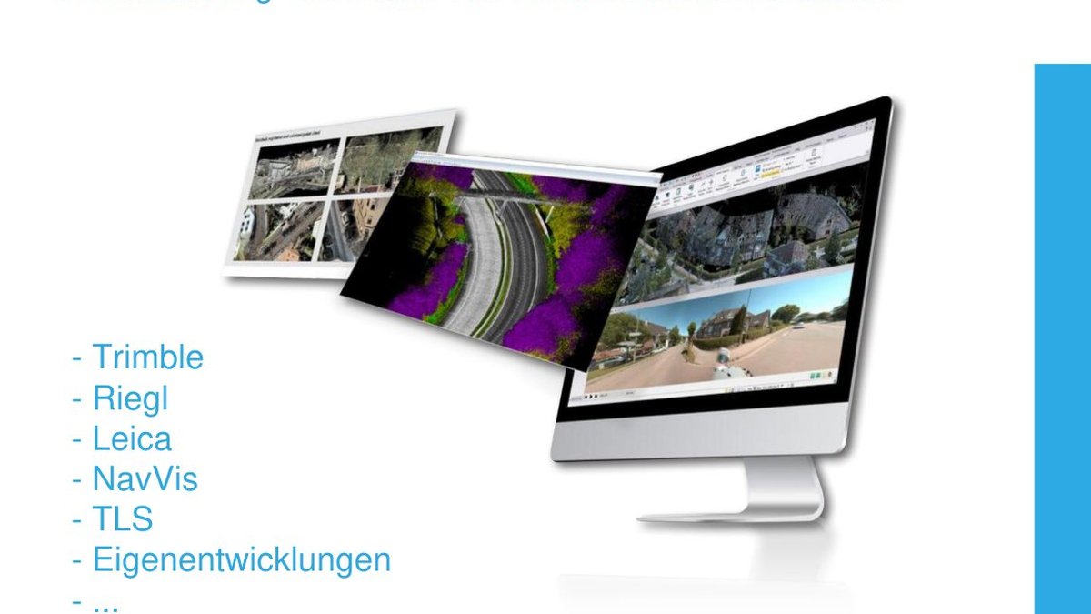
Mobile Mapping as a Service
You define the area, rhythm and target output—MapTerra handles capture, preprocessing, registration, blur, viewer publishing and optional AI analytics. Ideal for current infrastructure programs without building an in-house processing chain.
- Service model instead of high upfront investment
- Fast delivery for planning, construction and progress control
- Trajectory processing, registration and privacy workflows
- Optional road assessment, surface and object classification
Where AI already creates strong value today
- RTTI and traffic sign data
- Municipal asset management
- FTTH and route planning
- Surface and road condition assessment
- Trees, lighting, markings and roadside assets
- Digital evidence for inspection, approvals and documentation
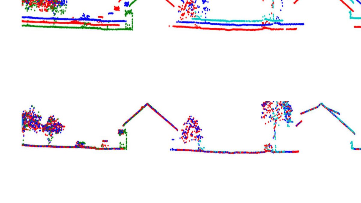
Georeferencing & registration quality
AI is only as strong as the data foundation. That is why we secure homogeneous, accurate datasets with robust registration and QA workflows—as the basis for viewers, derivations and reliable decisions.
- GNSS / IMU / SLAM processing
- Run-to-run registration and control point integration
- Project-specific accuracy reporting down to centimeter level
- Processing for road, rail, TLS, UAV/UAS and mobile sensor systems
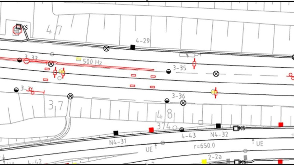
Mobile mapping – roads & municipal infrastructure
We turn capture data into a reliable foundation for operations, planning and maintenance with AI-ready data models, condition insights and browser-based access for large user groups.
- Traffic assets, surfaces, markings, trees and lighting
- Digital twins with condition and attribute information
- Scalable delivery for departments, operators and service providers
Mobile mapping – rail
In rail environments, MapTerra combines precise registration, topographic extractions, viewer solutions and AI-supported interpretation into one powerful workflow.
- Framework partner for topographic extractions and viewer solutions
- Profiles, clearance envelopes, topography and asset inventory
- Project-specific outputs for BIM, planning and documentation