
We are exhibiting at INTERGEO 2026!
15–17 September 2026 · Messe München
Hall B5 · Booth B5-H045
Visit us at INTERGEO and talk to us about the MapTerra AI-Viewer, point cloud management and AI-assisted infrastructure analytics.
Product news, projects and company announcements.
15–17 September 2026 · Messe München
Hall B5 · Booth B5-H045
Visit us at INTERGEO and talk to us about the MapTerra AI-Viewer, point cloud management and AI-assisted infrastructure analytics.
MapTerra is extending the AI-Viewer into an end-to-end data space for digital planning, 3D city models, mobile mapping, point clouds, BIM and GIS.
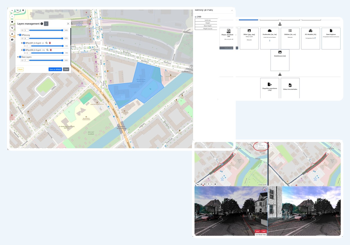
XPlanung-compliant binding land-use plans in XPlanGML can be uploaded, inspected on the 2D map and displayed in 3D together with other data. The platform also supports CityGML, CityJSON and Cesium 3D Tiles for efficient 3D city and object models.
New ingestion and rendering functions support very high-resolution mobile-mapping panoramas. Maps, imagery, point clouds, models and specialist layers remain spatially synchronised.
Captures from different dates can be compared side by side in geographically linked views. This applies not only to imagery, but also to point clouds, vector features, BIM models and detection results.
Volumes can be calculated inside defined areas against an automatically derived ground plane, a fixed elevation, a DTM or another point cloud. Layer comparison reports cut, fill and net volume change between capture dates.
The new name reflects the focus on 3D geodata, AI-assisted analytics and the MapTerra platform more clearly. The team, contacts, existing contracts and services remain unchanged.