
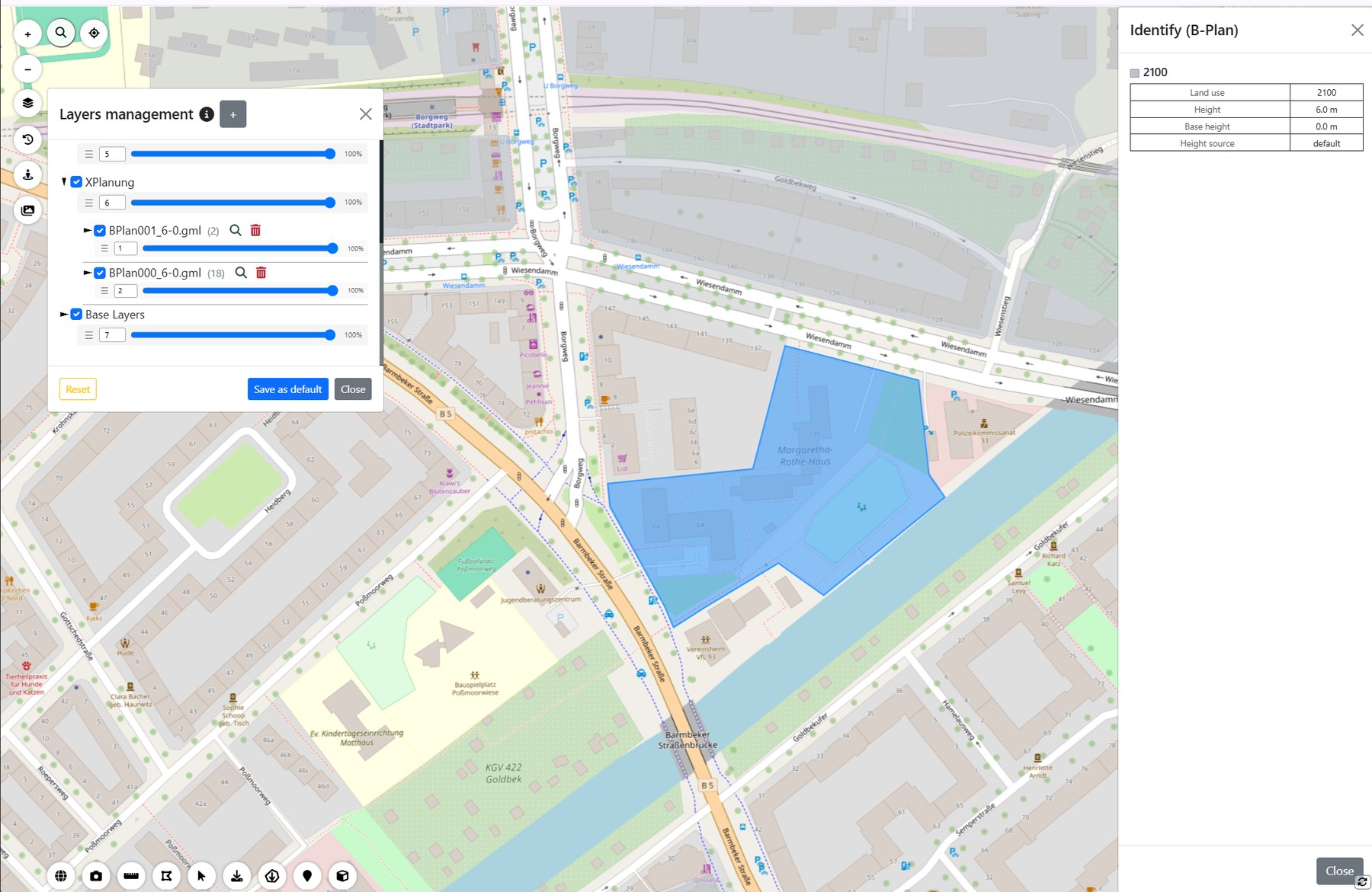
XPlanung and digital land-use planning
Upload XPlanung-compliant binding land-use plans in XPlanGML, inspect them in 2D and display them spatially alongside 3D data.
XPlanGML2D + 3DAttributes
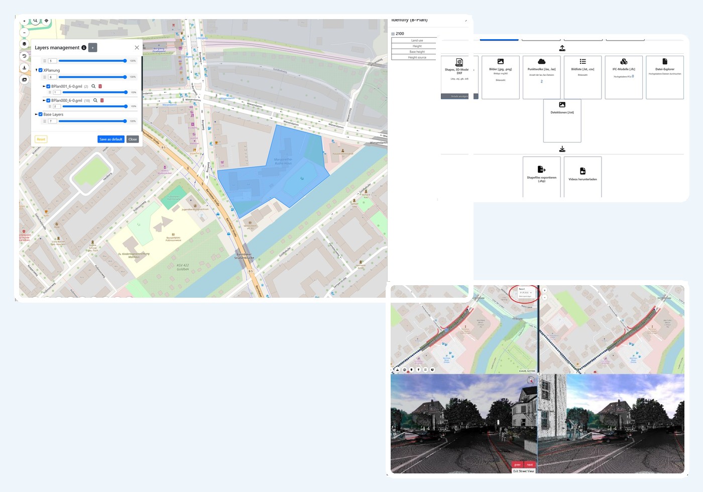
XPlanung, 3D city models, point clouds, high-resolution imagery, GIS, CAD and BIM data are brought together in a browser, analysed and made directly usable for projects.
15–17 September 2026 · Messe München
Hall B5 · Booth B5-H045
XPlanung, CityGML/CityJSON, Cesium 3D Tiles, high-resolution mobile-mapping imagery, temporal comparison and extended volume analytics turn the platform into an end-to-end data space for planning, administration and infrastructure.
The new version at a glance →The platform connects standardised planning data, large-scale city models, high-resolution capture data and specialist analytics.
Upload XPlanung-compliant binding land-use plans in XPlanGML, inspect them in 2D and display them spatially alongside 3D data.
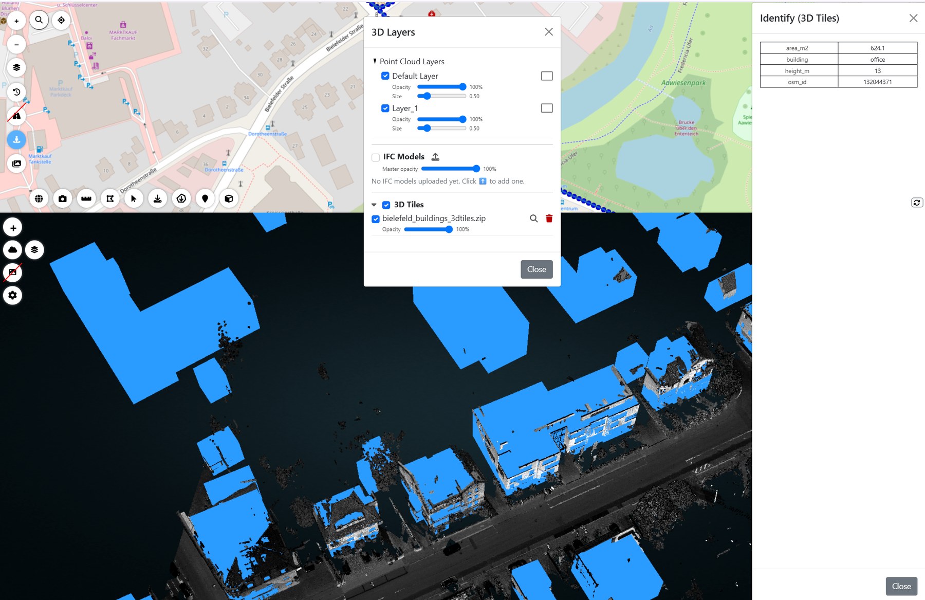
Publish CityGML, CityJSON and large 3D Tiles packages efficiently, identify objects and inspect attributes in their spatial context.
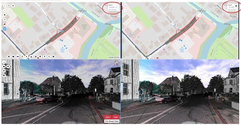
View maps, imagery, point clouds, models and detections in sync. Compare two epochs in geographically linked 2D and 3D views.
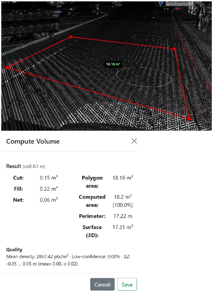
Calculate volumes within defined areas against an elevation, a terrain model or another point cloud, and quantify changes between captures.
The viewer is adapted to the actual workflow — from land-use planning to recurring condition capture.
XPlanung, 3D city models, specialist layers and historical datasets for planning, review and communication.
Design models, as-built point clouds, construction progress, volumes and spatial project documentation.
Vendor-neutral data ingestion, georeferencing, analysis, digitisation and export.
Use network, road and image data together, document change and reduce site visits.
Point clouds are ingested in standard formats. Preconfigured profiles are available for imagery and panoramas from numerous capture systems, while additional cameras and metadata structures can be configured individually.
Product and company names are trademarks of their respective owners. Their mention describes supported data sources and does not imply a business relationship or certification.
We will show how your existing datasets and workflows can be brought together in the MapTerra AI-Viewer.